Standard fields
Parcel ID, situs address, owner name when public, mailing address, acreage, land use, assessed values, sale fields, and geometry.
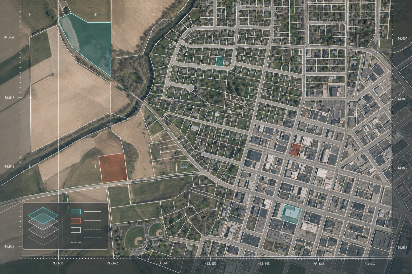
County parcel data, normalized
Live Texas and county-source parcel previews, clean bulk exports, and API access for developers, land teams, investors, and infrastructure operators.
What you get
Parcel ID, situs address, owner name when public, mailing address, acreage, land use, assessed values, sale fields, and geometry.
REST endpoints for lookup and bulk exports in formats your GIS and data warehouse already understand.
Tell us the counties or states you need. We confirm source availability, refresh cadence, price, and delivery date before purchase.
Live coverage
Current live coverage includes county-source parcel previews in Texas, Minnesota, and North Dakota. Buyers can inspect normalized sample records before ordering an extract or API access.
167,785 source parcels · 250 preview records
19,487 source parcels · 250 preview records
101,508 source parcels · 250 preview records
60,763 source parcels · 250 preview records
26,308 source parcels · 250 preview records
169,443 source parcels · 250 preview records
Need a Texas county, regional pull, or recurring parcel API that is not listed yet?
Request bulk export or API accessSimple API
Use LowHD for address lookup, owner-mailing workflows, site selection, underwriting, broadband planning, energy siting, and GIS enrichment.
{
  "parcel_id": "27-029-24-13-0017",
  "county_fips": "27053",
  "state": "MN",
  "situs_address": "118 N 3rd St",
  "owner_name": "public record",
  "mailing_address": "standardized",
  "land_use": "commercial",
  "acreage": 0.18,
  "geometry": "polygon"
}
Plain starting points
from $49
One county in GeoJSON, GeoPackage, Shapefile, or CSV.
from $399
Standardized county files delivered together.
from $99/mo
REST access for apps, enrichment, and recurring pulls.
Request access
For live counties, we can prepare bulk delivery quickly. For new counties, we confirm public source availability, fields, delivery options, and a firm quote.